
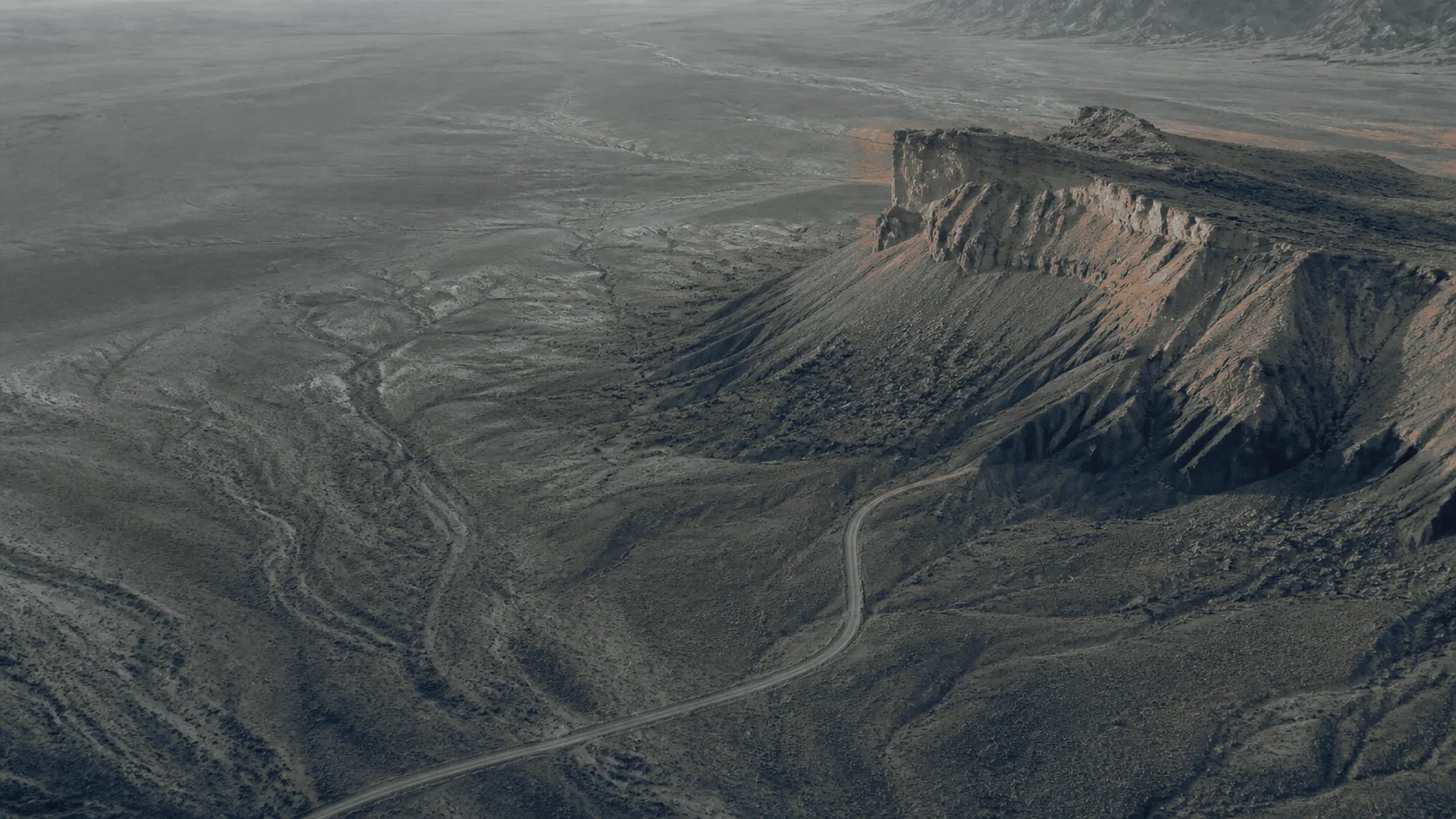
 Illustration
Mapping · Idaho & the Intermountain West
Measurable imagery. Not a survey.
Photogrammetric mapping and 3D models for construction sites, aggregate operations and industrial plants. We build orthomosaics, surface models, meshes and volumes from overlapping aerial photographs. They are for relative use, not a land survey. You receive files your GIS or CAD opens, and a straight answer about where the land-survey line falls.
- Sensor payload
- Thermal + 48 MP RGB
- camera payload
- Method
- Photogrammetric
- multi-view reconstruction
- Framework
- ASPRS PAS
- edition 2, relative
- Formats
- GeoTIFF · LAS/LAZ · OBJ
- DXF · GeoPackage · LandXML on request
Stakes
It is not survey-grade — and you should hear that before we quote, not after.
Everyone asks, so the answer opens the page. What a camera on an aircraft produces is a reconstruction of the imagery. Real work for a planner, an estimator or an inventory count, and none at all for a boundary.
How the geometry is actually solved
Many photographs, one point.
Each pass captures the same ground from several stations with heavy overlap. Where the views of a single point intersect, its position is solved. Do that for millions of points and you have a surface — reconstructed, not ranged.
That is why the result is described in relative terms. One point against another in the same capture is meaningful. One capture against a previous one of the same site is meaningful. A stated tolerance against the outside world would take ground control and a correction source. Neither sits behind these flights today.
- Tie point · resolved from three views
What you receive.
- GeoTIFF 01 Orthomosaic The site from above, to a consistent scale, measurable for length and area.
- GeoTIFF 02 Digital surface model Elevations relative to the capture’s own reference, for slope and drainage reading.
- OBJ + LAS/LAZ 03 Photogrammetric mesh and point cloud The reconstructed surface for visualization and clash reading, labeled photogrammetric throughout.
- CSV + PDF 04 Volumes Stockpile, cut and fill, each computed against a stated reference surface so the number can be reproduced or challenged.
- PDF 05 Capture log and limitations report Date, flight plan, overlap, conditions, and a plain statement of what the capture supports.
How a job runs.
- 01 Scope Area, deliverables, and what the output will be relied on for.
- 02 Plan Altitude, overlap and pattern set for the deliverable, not for the flight.
- 03 Process Imagery reconstructed; volumes computed against a stated reference surface.
- 04 Deliver Files, report, and a walkthrough of what the capture does not support.
What this is, stated precisely.
The framework this sits inside.
Named because it is the vocabulary an engineer will expect. We do not reproduce it, and we do not claim a class under it.
- ASPRS PAS Ed. 2 Positional Accuracy Standards for Digital Geospatial Data
- The framework under which the positional accuracy of a mapping product is described and reported. We report relative accuracy in its terms. Claiming an accuracy class under it is a different product, requiring ground control and a correction workflow alongside the flight.
- Not a land survey What the product is for, and not for
- Our maps, models and volumes are nonauthoritative photogrammetric products. They serve inspection, visualization, progress documentation and asset management. They are not for boundaries, easements, survey control, monuments, legal descriptions, certified elevations, staking, layout, design or permitting. Work that needs a licensed Idaho professional land surveyor is obtained separately.
Where this is used
Written for general contractors, owners and lenders.
Next step · One site
Start with one site.
A short call fixes the area, the deliverables, and what the output will be relied on for. That is also what settles whether a licensed professional belongs in the job.
We reply within one business day.