
 Illustration
Solution · For owners, property managers and restoration contractors
Document the roof while the evidence is fresh.
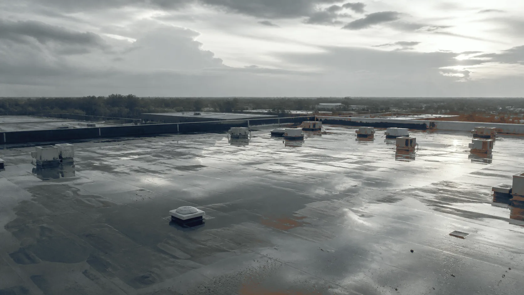
One flight after the storm records the whole roof surface at 48 MP, every frame dated and geotagged. A radiometric thermal pass indicates where water is being retained in the assembly. It comes back as a condition report with the findings numbered and located. It is documentation, produced at the direction of the policyholder, their adjuster or their contractor. They are the people who read it for the claim.
- Visible sensor
- 48 MP
- seam and surface detail
- Aircraft thermal sensor
- 640 × 512
- radiometric
- Every frame
- Geotagged
- date and coordinates
- Deliverable
- Condition report
- PDF + imagery set
What the file looks like either way.
From the ladder is how a roof gets documented after a storm today. From the flight is what one flight returns.
From the ladder
From the flight
- A handful of phone photographs taken from a ladder at the roof edge. Over several days, by whoever could get up there.
- The full roof surface in one pass, every frame carrying its own date and coordinates, captured on a single afternoon.
- The photographs show the places someone could reach and stand. What the middle of the roof is doing is inferred.
- Uniform coverage regardless of slope, height or where a ladder will sit, including the field a ladder never reaches.
- Bruising and granule loss are hard to hold in a photograph taken at an angle in poor light.
- Nadir imagery at consistent altitude and overlap, with zoom detail on seams, flashings, penetrations and mechanical curbs.
- Nothing in the file speaks to what is happening inside the assembly. Retained moisture is argued from the ceiling stain.
- A radiometric thermal pass alongside the visible one, indicating areas holding heat consistently with retained moisture, flagged for verification.
- Someone has to get on a damaged roof to build the file, days after the event.
- Nobody stands on a damaged deck to produce the record. The capture happens while the surface is still as the storm left it.
Method
Two passes, one afternoon, one registered set.
The visible pass images the whole surface at fixed altitude and overlap. Zoom detail covers every seam, flashing, penetration, drain and mechanical curb. Frames carry their capture date and coordinates. So the record of what was photographed and when is inside the file rather than alongside it.
The thermal pass reads the same roof radiometrically. Saturated insulation holds the day’s heat longer than the dry assembly around it. After sunset the wet areas read warmer. That contrast is what indicates retained moisture. It is an indication, flagged for a core, not a finding on its own.
Both passes register to the same scaled roof plan. A thermal anomaly and the visible condition above it are the same place on the same document.
What you receive.
- JPEG + GeoTIFF 01 Dated, geotagged imagery set The full roof surface plus zoom detail on every seam, flashing, penetration and curb. Each frame carries its capture date and coordinates.
- PDF 02 Condition report Findings numbered, located on a scaled plan and rated for urgency, with the conditions, equipment and settings logged beside them.
- PDF + GeoTIFF 03 Thermal moisture indication Areas reading consistently with retained moisture, outlined on the same plan and flagged for verification.
- CSV 04 Findings table Every numbered finding with its location, category and verification status. In a form a contractor or an adjuster can work from directly.
Stated before you commission it.
Questions we are asked
What buyers ask before they call.
Q1 How quickly can you be on it after a storm?
Scheduling is the constraint that matters, and it is worth being plain about it. The visible pass can fly in any safe daylight window. The thermal pass needs a dry surface and a temperature difference. The weather after a storm does not always hand you those. We fly the visible documentation as soon as it is safe and airspace allows. We schedule the thermal pass into the first window that holds. A scan flown outside its window produces a result that has to be caveated into uselessness.
Q2 Can you document a roof we cannot safely walk?
That is one of the reasons to fly it. A deck that has taken hail or wind is exactly the surface nobody should stand on to build a photographic record. The aircraft images it at uniform altitude and overlap without anyone going up there. Verification cores, where the report calls for them, are placed afterwards by your contractor. They go in the areas the thermal pass narrowed it down to.
Q3 Who is this for — the owner, the contractor, or the adjuster?
Any of them, and the report is the same document either way. Owners and property managers commission it directly. Restoration roofing contractors commission it to support the scope they are putting together. Independent adjusting firms use it as capture capacity when a storm has produced more roofs than their people can reach. What changes is who instructs us, not what we measure.
Q4 Do you work with our carrier?
No. We work for whoever engages us, the policyholder, their adjuster or their contractor, and we deliver the documentation to them. Everything that happens between you and an insurer is handled by your adjuster or your contractor. They are licensed and qualified for it. That boundary is deliberate and we hold it in every engagement.
Q5 Is the imagery admissible or defensible?
What we can speak to is the record. Each frame carries the date and coordinates of capture. The report logs conditions, equipment, emissivity and reflected-temperature settings. The method is repeatable by anyone who reads it. Whether a particular document satisfies a particular process is a question for the people running that process. We do not represent otherwise.
Q6 Can you re-fly this roof later to show what changed?
Yes, and the first flight is what makes the second one worth anything. Route, altitude, overlap and camera settings ship with the deliverable. A re-flight covers the same ground the same way, so the two sets compare directly. Every flight becomes your baseline, so the next one shows what changed.
Q7 Is this a survey?
No. Our photogrammetric outputs document conditions for planning and comparison. They are not land surveys and are not offered as survey-grade or authoritative. Idaho reserves that word to licensed practice. Boundary or certified-elevation work is performed by a licensed Idaho professional land surveyor.
Who this is for
Written for property management and commercial real estate. The next decisions in the chain: insurance claim documentation and is your roof insulation wet? .
Next step · One roof
Get the roof on record.
A short call sizes the roof and settles access and who is instructing us. It fixes the window for the thermal pass.
We reply within one business day.